Cambodia Travel Siem Reap - Phnom Kulen National Park ឧទ្យានជាតិព្រះជ័យវរ្ម័ន-នរោត្តម ភ្នំគូលែន (2013 0607)

Coordinates 13°35'04.7"N 103°58'26.8"E Map for 13.584644, 103.974102
Located: Svay Leu District
Getting there:
by National Highway 6, turn onto National Road 66, turn right at 13°43'56.2"N 104°02'44.8"E map for 13.732271, 104.045767 until The ticket office is at the bottom of Phnom Kulen and is the entrance to the Phnom Kulen National Park.
During the Khmer Empire the area was known as Mahendraparvata (the mountain of Great Indra) and was the place where Jayavarman II had himself declared chakravartin (King of Kings), an act which is considered the foundation of Khmer Empire.
If you’re going to the top of the mountain by car, van or moto, you need to go up before 11am. The road is one-way traffic only
Linga 1,000 ប្រាសាទលិង្គមួយពាន់


Magic Water Well never dry out even in summer dry season even higher above the river banks.

Preah Ang Thom ព្រះអង្គធំ


Butterfly @Waterfall Area


Waterfalls ទឹកធ្លាក់ភ្នំគូលែន

First waterfall: 4–5 metres.


Second waterfall: 15–20 metres


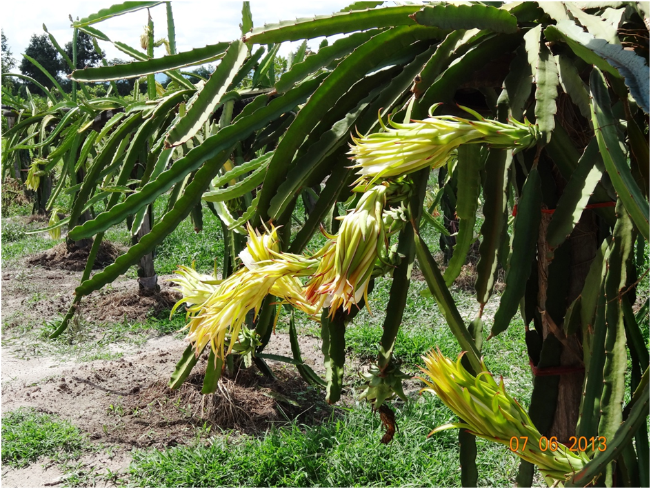
Dragon Fruit Plantation


Comments
Post a Comment